Empowering San Diego Voters with Knowledge and Access
An Ongoing Mission from the RNHA of San Diego
NEWS
Mr. Fuji
5/24/20254 min read


The Republican National Hispanic Assembly of San Diego offers a comprehensive suite of interactive maps to help voters understand their political boundaries and become more engaged in the democratic process. These resources are designed to empower the community with knowledge about the districts that shape their daily lives.
Just some of our map boundaries we created are:
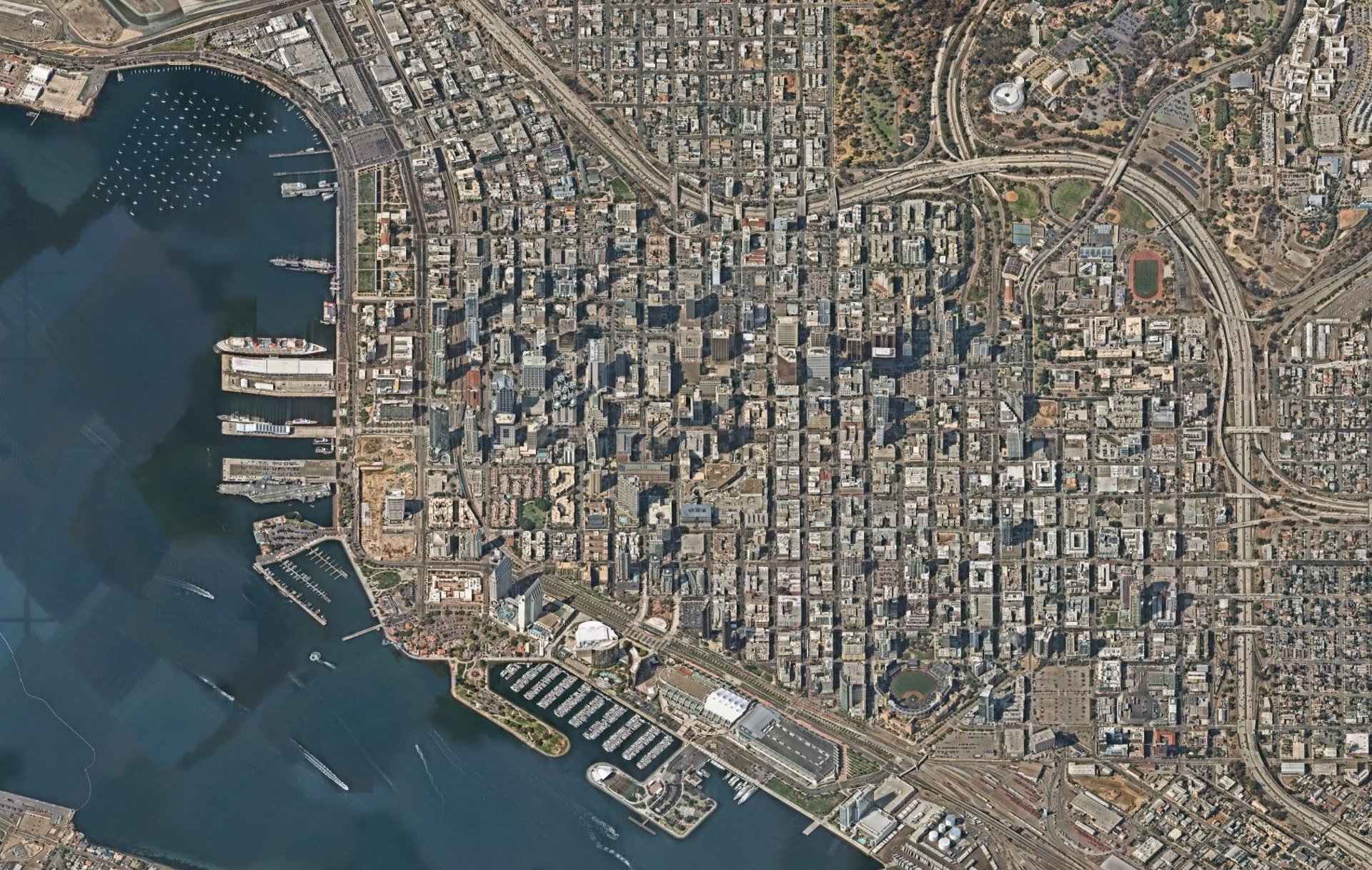
San Diego City Council Districts
Explore the San Diego city council districts to see which representatives serve your neighborhood. Understanding these boundaries helps you identify your local leaders and participate in city governance.Congressional Districts
View the U.S. House of Representatives districts within San Diego County. This knowledge is crucial for understanding federal representation and engaging in national policy discussions.State Senate and Assembly Districts
Access maps of California's state legislative districts. Knowing your state representatives allows you to influence state-level legislation and policies that affect your community.San Diego County Supervisor Districts
Identify the five supervisorial districts in San Diego County. These maps are vital for understanding county-level governance and services.School Districts
Find maps of elementary, high school, and charter school districts. This information is essential for parents, educators, and those interested in educational policy and local school governance.
By familiarizing yourself with these boundaries and others we have here, you gain the power to make informed decisions, hold leaders accountable, and actively participate in the democratic process. These maps are not just tools—they are gateways to civic engagement and leadership.
This initiative is part of Republican National Hispanic Assembly of San Diego ongoing commitment to empowering the community with knowledge and resources needed to engage fully in the democratic process. Together, we strive to build an informed electorate and inspire the next generation of leaders.
County and Regional Boundaries
Understanding county lines helps residents, voters, and candidates alike grasp the regional scope of services, elections, and collaboration across jurisdictions.
City and Coastal Area Boundaries
San Diego City Boundaries
View MapCoastal Area City Boundaries
View MapCoastal Area City Council Districts
View Map
These maps help residents identify which local leaders and city services apply to them. For candidates, this information is essential for targeting outreach within the correct city zones.
San Diego City Council Districts
All San Diego City Council Districts
View MapIndividual District Maps:
Each city council district elects its own representative. Voters need to know who’s accountable to them. Candidates must know exactly where district lines are drawn to qualify and campaign effectively.
U.S. Congressional Districts
Congressional Districts in San Diego County
View Map48th District: View Map
49th District: View Map
50th District: View Map
51st District: View Map
52nd District: View Map
These federal districts determine representation in Congress. For federal candidates, knowing your congressional boundaries is mandatory for ballot qualification and constituent outreach. Note that the California legislative district boundaries are redrawn every ten years.
California State Legislature
State Senate Districts in San Diego County:
District 18: View Map
District 32: View Map
District 38: View Map
District 39: View Map
District 40: View Map
State Assembly Districts in San Diego County:
District 74: View Map
District 75: View Map
District 76: View Map
District 77: View Map
District 78: View Map
District 79: View Map
District 80: View Map
These districts shape your representation in Sacramento. For voters, it’s key to understanding policy impact; for candidates, it defines where to file, campaign, and serve.
San Diego County Board of Supervisors
District 1: View Map
District 2: View Map
District 3: View Map
District 4: View Map
District 5: View Map
Supervisor District 1 Voting Locations
View Map
29 official ballot drop boxes (starting June 3)7 early vote centers (open June 21–June 30, 8 a.m.–5 p.m.)
13 vote centers open on Election Day (July 1, 7 a.m.–8 p.m.)
County Supervisors shape local budgets, land use, and public health. Candidates must verify their residency and campaign boundaries before running.
Education District Maps
Map of Public Schools
View MapMap of Charter Schools
View MapElementary School Districts
View MapHigh School Districts
View MapPublic Schools & Districts Statewide
View Map
School boundaries play a critical role in shaping our children's educational opportunities. They determine not only enrollment zones and school funding but also influence the makeup of local school boards and the policies they enact. These boundaries affect which families have access to which schools—often limiting choice for parents and students who deserve better educational options.
Understanding district lines is essential for school board candidates. They must file correctly and ensure they’re campaigning to represent the right communities. But more importantly, they need to understand how these boundaries impact educational freedom. By being informed and engaged, candidates can become champions for school choice—advocating policies that empower parents to choose the best school for their child, whether it’s public, charter, private, or homeschooling.
Additionally, parents and school board members must be prepared to protect fairness and integrity in school athletics, especially when it comes to defending girls’ sports. Preserving equal opportunities for female athletes means drawing clear lines—not just on maps, but on policy. The decisions made within these boundaries have real consequences for our children’s futures.
Now more than ever, voters and candidates alike must understand the significance of school district boundaries. They are not just administrative zones—they are battlegrounds for values, parental rights, and educational excellence.
Why It All Matters
Whether you’re voting or running for office, knowing your jurisdiction ensures your participation is impactful and legal. Map boundaries are more than lines—they define your civic identity and your ability to effect change.
This is an ongoing voter education and candidate outreach initiative by the Republican National Hispanic Assembly of San Diego.
Do you have a question, suggestion, or request for map, let us know.
Maps last updated June 6th, 2025. More maps coming soon!
Join Us in Empowering Voters
At the Republican National Hispanic Assembly of San Diego, we are committed to empowering voters with accurate, up-to-date information about political boundaries and Republican candidates. Our initiative provides a centralized resource for San Diego County voters to understand their representation at every level of government.
This ongoing project is vital for ensuring that voters are well-informed and engaged. However, maintaining and updating these resources requires continuous effort and support.
Your contribution can make a significant impact. By donating to the Republican National Hispanic Assembly of San Diego, you support our mission to provide accessible and accurate information to the electorate.
Every donation, no matter the amount, $5, $10, $100 or more helps us continue this important work.
Together, we can ensure that every voter in San Diego is equipped with the knowledge they need to make informed decisions at the ballot box.